US-0513
Block Island National Wildlife Refuge
POTA GPS coordinates
41.2133, -71.5724


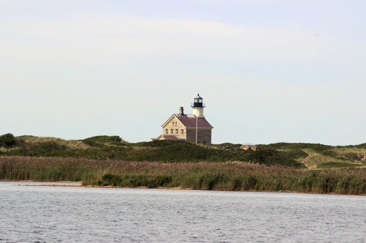
Photo details
Open full photo ↗Source image ↗Retrieved 2026-09-12. Rights reviewed 2026-09-12.
- Auto-oriented from source metadata; original composition and aspect ratio retained.
- Resized to at most 2400 pixels wide without enlargement.
- Encoded as WebP using sharp 0.35.4, quality 86, effort 6; embedded metadata stripped.
RI POTA resized and encoded this photo as WebP for different screen sizes. The displayed crop may vary with the layout. The linked photo license applies to these versions.
Map
US-0513 mapped areaWildlife refuge · U.S. Fish and Wildlife Service
Plan your visit
POTA GPS coordinates
41.2133, -71.5724
Orange recommended
During hunting season, generally October through February.
The refuge recommends blaze orange for visitors during hunting season. No minimum area is specified.
Orange guidance ↗- Hours & seasons
- Open daily, sunrise to sunset.
- Pets
- Pets are not allowed; service animals are welcome.
Before setting up
- Reach Block Island by ferry or plane; the refuge is about four miles from the ferry landing.
- Plan for a walk to the North Light and bring drinking water.
- Stay out of posted closed areas and designated hunt areas restricted to permitted hunters.
Park details can change. Check the park website and posted signs before you go.
Map facts
The highlighted area is based on the linked public map source. Confirm current POTA requirements before activating.
- Map detail
- Mapped area
- Map source
- U.S. Fish and Wildlife Service National Wildlife Refuge System Boundaries
No community reports yet.
Sources
Check current details
Official POTA remains the source of truth for reference details and requirements.