US-0514
John H. Chafee National Wildlife Refuge
Salt marsh and tidal waterways along the lower Pettaquamscutt River.
POTA GPS coordinates
41.443, -71.4707


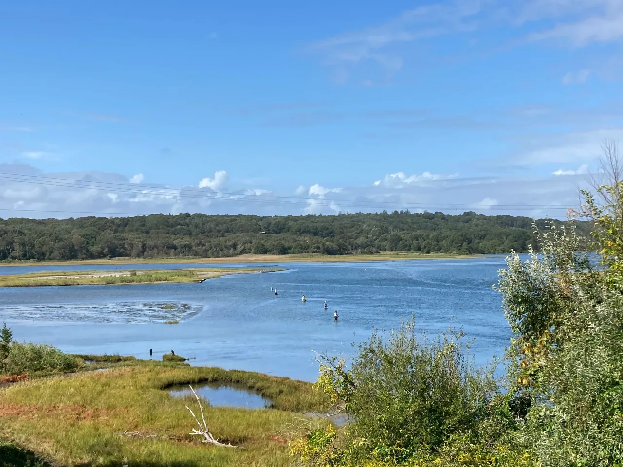
Photo details
Open full photo ↗Source image ↗Retrieved 2026-09-12. Rights reviewed 2026-09-12.
- Auto-orient from source metadata.
- Resize to a maximum width of 2400 pixels without enlargement; preserve aspect ratio.
- Encode WebP at quality 86, effort 6 with sharp 0.35.4; strip embedded metadata.
RI POTA resized and encoded this photo as WebP for different screen sizes. The displayed crop may vary with the layout. The linked photo license applies to these versions.
Map
US-0514 mapped areaWildlife refuge · U.S. Fish and Wildlife Service
Plan your visit
POTA GPS coordinates
41.443, -71.4707
- Boat launch
Orange recommended
During fall and winter hunting seasons, generally September through January.
Wearing orange near active hunting areas is a practical precaution. The refuge does not publish a general orange requirement for ordinary visitors.
Orange guidance ↗- Hours & seasons
- Open daily, sunrise to sunset.
- Pets
- Pets are not allowed, apart from permitted hunting dogs and service animals.
- Accessibility
- The Sprague Bridge kayak launch is not wheelchair or stroller accessible.
Before setting up
- Public access is concentrated at the Sprague Bridge kayak launch and designated shoreline access points; there are no managed refuge trails.
- The refuge headquarters address is in Charlestown, away from the refuge; use the visitor map to choose an access point.
- Hunt units are restricted to permitted hunters.
Park details can change. Check the park website and posted signs before you go.
Map facts
The highlighted area is based on the linked public map source. Confirm current POTA requirements before activating.
- Map detail
- Mapped area
- Map source
- U.S. Fish and Wildlife Service National Wildlife Refuge System Boundaries
No community reports yet.
Sources
Check current details
Official POTA remains the source of truth for reference details and requirements.