US-0515
Ninigret National Wildlife Refuge
Coastal refuge with salt-pond views, grasslands, and walking trails.
POTA GPS coordinates
41.3682, -71.6716


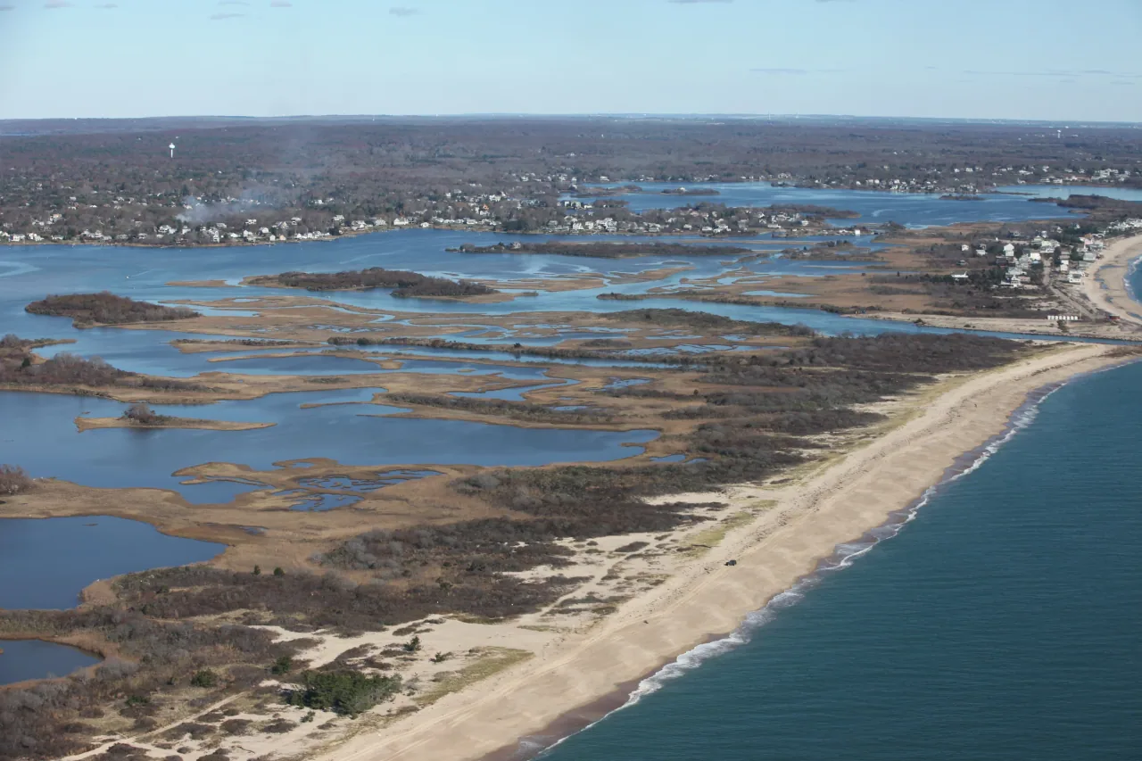
Photo details
Open full photo ↗Source image ↗Retrieved 2026-09-12. Rights reviewed 2026-09-12.
- Auto-orient from source metadata.
- Resize to a maximum width of 2400 pixels without enlargement; preserve aspect ratio.
- Encode WebP at quality 86, effort 6 with sharp 0.35.4; strip embedded metadata.
RI POTA resized and encoded this photo as WebP for different screen sizes. The displayed crop may vary with the layout. The linked photo license applies to these versions.
Map
US-0515 mapped areaWildlife refuge · U.S. Fish and Wildlife Service
Plan your visit
POTA GPS coordinates
41.3682, -71.6716
- Parking
Orange recommended
During hunting seasons: September through January, and April through May in the Barrier Beach and Lewis Tract units.
The refuge recommends blaze orange for visitors during hunting season. No minimum area is specified.
Orange guidance ↗- Hours & seasons
- Trails are open sunrise to sunset. Kettle Pond Visitor Center is open daily, 10 am to 4 pm.
- Getting there & parking
- Choose the Kettle Pond headquarters or a Salt Pond trail entrance; they are separate parts of the refuge.
- Pets
- Leashed dogs are allowed on Kettle Pond Visitor Center trails except Toupoysett Pond Trail. Pets are not allowed on the other refuge trails.
Before setting up
- Stay on designated trails and avoid disturbing vegetation.
- Salt Pond trails close to general visitors during special deer hunts; check current refuge notices before visiting.
- Connecting trails enter Burlingame State Park and Management Area, where different orange rules apply.
Park details can change. Check the park website and posted signs before you go.
Map facts
The highlighted area is based on the linked public map source. Confirm current POTA requirements before activating.
- Map detail
- Mapped area
- Map source
- U.S. Fish and Wildlife Service National Wildlife Refuge System Boundaries
No community reports yet.
Sources
Check current details
Official POTA remains the source of truth for reference details and requirements.