US-0789
Roger Williams National Memorial
A small urban memorial with shaded lawns and paths in historic Providence.
POTA GPS coordinates
41.831, -71.411


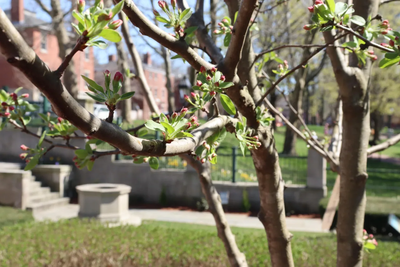
Photo details
Open full photo ↗Source image ↗Retrieved 2026-09-12. Rights reviewed 2026-09-12.
- Auto-orient from source metadata.
- Resize to a maximum width of 2400 pixels without enlargement; preserve aspect ratio.
- Encode WebP at quality 86, effort 6 with sharp 0.35.4; strip embedded metadata.
RI POTA resized and encoded this photo as WebP for different screen sizes. The displayed crop may vary with the layout. The linked photo license applies to these versions.
Map
US-0789 mapped areaHistoric site · National Park Service
Plan your visit
POTA GPS coordinates
41.831, -71.411
- Parking
- Restrooms
- Picnic tables
- Drinking water
No visitor orange requirement listed
Orange clothing is not required for ordinary visits to the memorial grounds.
Orange guidance ↗- Hours & seasons
- Memorial grounds are open dawn to dusk. Visitor center hours vary seasonally.
- Getting there & parking
- Free visitor parking has a two-hour limit and is for people actively visiting the memorial.
- Pets
- Leashed pets are allowed on the grounds; pets are not allowed in public buildings, except service animals.
- Accessibility
- Brick paths, a wheelchair-accessible visitor center, accessible restroom stalls, and picnic tables with extended tops.
Before setting up
- Stakes, poles, and objects inserted into the ground are prohibited; do not tie or hang equipment from trees.
- Generators and inverters require a permit. Park outlets may not be used to charge personal equipment.
- Keep radio audio at a reasonable volume and leave pathways clear.
Park details can change. Check the park website and posted signs before you go.
Map facts
The highlighted area is based on the linked public map source. Confirm current POTA requirements before activating.
- Map detail
- Mapped area
- Map source
- National Park Service Land Resources Division Boundary and Tract Data Service
No community reports yet.
Sources
Check current details
Official POTA remains the source of truth for reference details and requirements.