US-10544
Jerimoth Hill State Recreation Area
A short woodland walk leads to the rocky summit of Rhode Island’s highest point.
POTA GPS coordinates
41.8512, -71.7786


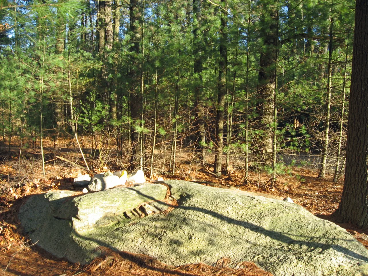
Photo details
Open full photo ↗Source image ↗Retrieved 2026-09-12. Rights reviewed 2026-09-12.
- Auto-orient from source metadata.
- Resize to a maximum width of 2400 pixels without enlargement; preserve aspect ratio.
- Encode WebP at quality 86, effort 6 with sharp 0.35.4; strip embedded metadata.
RI POTA resized and encoded this photo as WebP for different screen sizes. The displayed crop may vary with the layout. The linked photo license applies to these versions.
Map
US-10544 mapped areaRecreation area · Rhode Island DEM
Plan your visit
POTA GPS coordinates
41.8512, -71.7786
Seasonal orange required
Second Saturday in September through the last day of February, and third Saturday in April through the last day of May.
State forest land falls within the seasonal management-area orange rule even though hunting is not permitted on the summit parcel. Wear at least 200 square inches of solid daylight fluorescent orange above the waist, visible from all directions; 500 square inches during shotgun deer season.
Orange guidance ↗- Hours & seasons
- Sunrise to sunset for day use; follow posted gate hours.
Before setting up
- Short woodland walk from Route 101 to the high point; bring a compact portable station.
Park details can change. Check the park website and posted signs before you go.
Map facts
The highlighted area is based on the linked public map source. Confirm current POTA requirements before activating.
- Map detail
- Mapped area
- Map source
- Rhode Island DEM State Conservation Land
No community reports yet.
Sources
Check current details
Official POTA remains the source of truth for reference details and requirements.