US-2871
Burlingame State Park
POTA GPS coordinates
41.3756, -71.6986


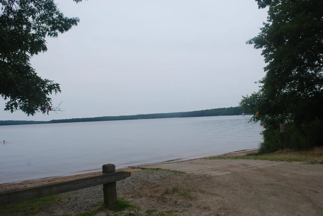
Photo details
Open full photo ↗Source image ↗Retrieved 2026-09-12. Rights reviewed 2026-09-12.
- Auto-oriented from source metadata; original composition and aspect ratio retained.
- Resized to at most 2400 pixels wide without enlargement.
- Encoded as WebP using sharp 0.35.4, quality 86, effort 6; embedded metadata stripped.
RI POTA resized and encoded this photo as WebP for different screen sizes. The displayed crop may vary with the layout. The linked photo license applies to these versions.
Map
US-2871 mapped areaPark · Rhode Island DEM
Plan your visit
POTA GPS coordinates
41.3756, -71.6986
- Parking
- Restrooms
- Picnic tables
- Shelter
- Boat launch
- Camping
Orange in some areas
Second Saturday in September through the last day of February, and third Saturday in April through the last day of May.
Required in Burlingame Management Area and North Camp, including connecting woodland trails. The developed picnic/beach and campground areas have different use rules. Wear at least 200 square inches of solid daylight fluorescent orange above the waist, visible from all directions; 500 square inches during shotgun deer season.
Orange guidance ↗- Hours & seasons
- Sunrise to sunset for day use; follow posted gate hours.
- Fees
- Day-use beach access is free; campground and pavilion reservations may carry fees.
- Pets
- Leashed dogs on connecting trails; no pets in the picnic area April 1–September 30, except service animals.
Before setting up
- John Vincent Gormley Trail loops around Watchaug Pond and passes through the management area.
- Restrooms generally operate May–October. Pavilion reservations are seasonal; picnic tables outside the pavilion are first come, first served.
Park details can change. Check the park website and posted signs before you go.
Map facts
The highlighted area is based on the linked public map source. Confirm current POTA requirements before activating.
- Map detail
- Mapped area
- Map source
- Rhode Island DEM State Conservation Land
No community reports yet.
Sources
Check current details
Official POTA remains the source of truth for reference details and requirements.