US-7971
Blackstone River Valley National Historical Park
Historic mills and river landscapes tell the story of the Blackstone Valley.
POTA GPS coordinates
42.015, -71.5529


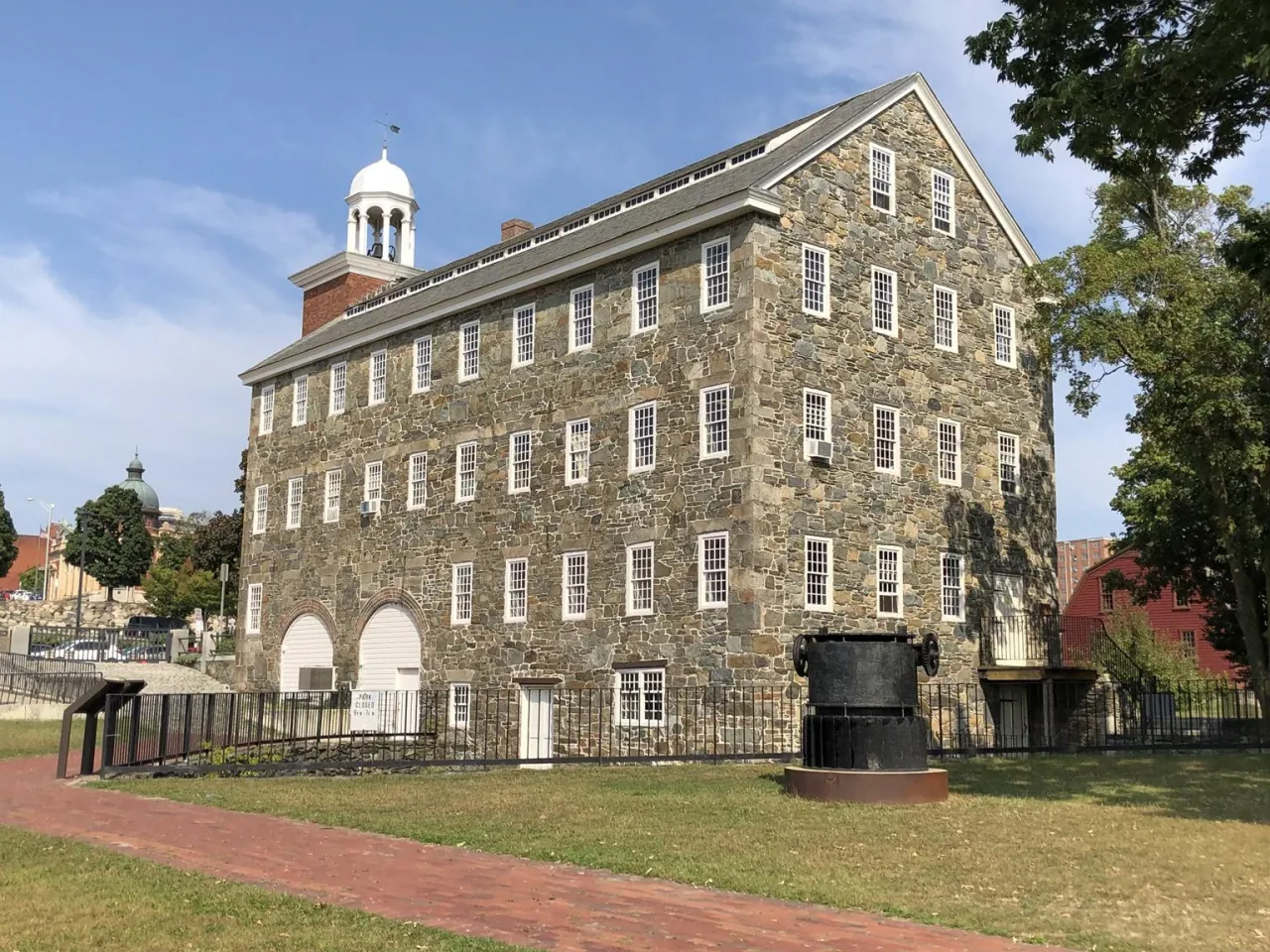
Photo details
Open full photo ↗Source image ↗Retrieved 2026-09-12. Rights reviewed 2026-09-12.
- Auto-orient from source metadata.
- Resize to a maximum width of 2400 pixels without enlargement; preserve aspect ratio.
- Encode WebP at quality 86, effort 6 with sharp 0.35.4; strip embedded metadata.
RI POTA resized and encoded this photo as WebP for different screen sizes. The displayed crop may vary with the layout. The linked photo license applies to these versions.
Map
US-7971 mapped areaHistoric site · National Park Service and partner site managers
Plan your visit
POTA GPS coordinates
42.015, -71.5529
- Parking
- Picnic tables
No visitor orange requirement listed
No general orange requirement at the NPS visitor areas. Follow the actual land manager's rules when visiting partner properties.
Orange guidance ↗- Hours & seasons
- Hours vary among Old Slater Mill, state parks, and other partner sites; check the selected destination.
- Getting there & parking
- Old Slater Mill has visitor parking, including accessible spaces; follow its two-hour parking limit.
- Pets
- Leashed pets are allowed on NPS grounds; pets are not allowed in public buildings, except service animals.
- Accessibility
- Old Slater Mill has accessible parking, a wheelchair-accessible visitor center and tour entrance, and loaner wheelchairs.
Before setting up
- The park includes several separate destinations; choose a specific site before traveling.
- On NPS-owned grounds, stakes, poles, and ground-penetrating objects are prohibited; generators and inverters require a permit.
- Use the rules of the actual partner property for setup and access.
Park details can change. Check the park website and posted signs before you go.
Map facts
The highlighted area is based on the linked public map source. Confirm current POTA requirements before activating.
- Map detail
- Mapped area
- Map source
- National Park Service Land Resources Division Boundary and Tract Data Service
No community reports yet.
Sources
Check current details
Official POTA remains the source of truth for reference details and requirements.