US-2878
Lincoln Woods State Park
Wooded trails, granite boulders, and freshwater recreation around Olney Pond.
POTA GPS coordinates
41.8975, -71.4329


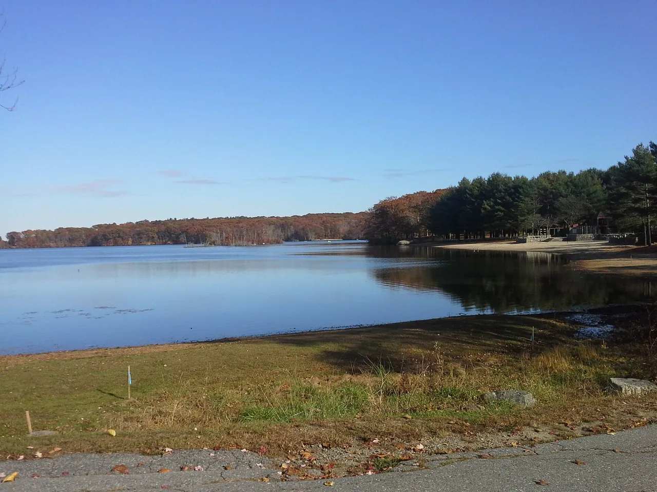
Photo details
Open full photo ↗Source image ↗Retrieved 2026-09-12. Rights reviewed 2026-09-12.
- Source is a Wikimedia-published 1920-pixel rendition of the licensed original; its exact downloaded bytes are identified by source.sha256. No upscaling.
- Auto-oriented from source metadata; original composition and aspect ratio retained.
- Resized to at most 2400 pixels wide without enlargement.
- Encoded as WebP using sharp 0.35.4, quality 86, effort 6; embedded metadata stripped.
RI POTA resized and encoded this photo as WebP for different screen sizes. The displayed crop may vary with the layout. The linked photo license applies to these versions.
Map
US-2878 mapped areaPark · Rhode Island DEM
Plan your visit
POTA GPS coordinates
41.8975, -71.4329
- Parking
- Restrooms
- Picnic tables
No visitor orange requirement listed
The mapped Lincoln Woods forest and park references cover the same developed state park; the seasonal management-area orange rule does not apply to ordinary visits.
Orange guidance ↗- Hours & seasons
- Sunrise to sunset for day use; follow posted gate hours.
- Pets
- Leashed dogs allowed, except on the bathing beach April 1–September 30.
- Accessibility
- Accessible shoreline fishing is available seasonally.
Before setting up
- Picnic table use requires a park reservation/permit; do not assume a vacant table is available.
- Restroom facilities generally operate May–October.
Park details can change. Check the park website and posted signs before you go.
Map facts
The highlighted area is based on the linked public map source. Confirm current POTA requirements before activating.
- Map detail
- Mapped area
- Map source
- Rhode Island DEM State Conservation Land
Mapped relationship
Possible 2-fer
US-2878 and US-5483 share the same mapped source features. Confirm both references before operating, and keep the entire station valid for both.
Read official POTA multiple-reference guidance ↗- US-2878 · Lincoln Woods State ParkLocal guideOfficial POTA ↗
- US-5483 · Lincoln Woods State ForestLocal guideOfficial POTA ↗
No community reports yet.
Sources
Check current details
Official POTA remains the source of truth for reference details and requirements.